There are assumptions in mining that things can’t change. Even though it may be slow and expensive, we do things a particular way because we know it works.
The risk is this thinking can blind us to new things when they come our way. Let me tell you about the game changing update to electromagnetic exploration technology, C T A C’s Mineral Finder Technology or MFT.
The old industry model for exploration is high risk, it takes a long time, carries a big up-front capital cost, and has low success rates.
The MFT goal is to turn that model around. With #mineralfindertechnology you can quickly, and for low cost, and high success rate, quantify, map, and value your asset. Then you spend a lot less time and money to execute a small number of highly targeted confirmation drill holes, after which you can accelerate the move to finance.
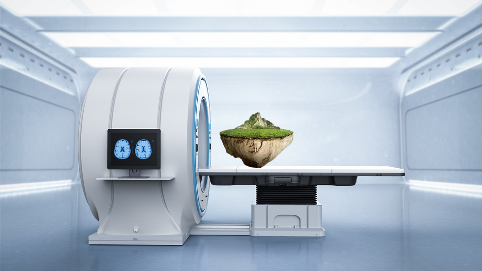
As one mining client described it, “Mineral Finder Technology is an MRI for orebodies. A non-invasive environmentally friendly technology that reduces my risks by generating accurate 3-dimensional orebody maps, and valuations, quickly, and for low cost.”

Traditional electromagnetic exploration methods use the infrared wavelengths and active technology to identify surface anomalies. MFT uses passive technology, to examine distortions in the earth’s electromagnetic field, at deep blue through ultra-violet wavelengths, at mineral resonant frequencies. This allows MFT to see underground and develop 3-dimensional models of ore bodies, up to 10 km deep, acting like an MRI for mineral exploration.
It is conducted in two phases.
Phase 1 involves analysis of satellite spectroscopy data to examine large areas and identify subsurface mineralisation. We use Phase 1 to identify the best areas for further investigation, then only explore those in Phase 2.
#MFT employs unique multilayered neural network deep learning software and algorithms to process and map the data, and where available, calibration data from ore samples.
Phase 2 involves collection and analysis of field data from two steps. Step 1 involves analysis of the top view or FPSEF data gathered by air, road, boat, horse, or on foot, to develop more accurate maps of the sub-soil mineralisation and grades. Step 2 employs analysis of the side view or VERS data gathered in the field, on foot, to develop more accurate maps of the depth and thickness of the subsurface minerals of interest.
Finally, the software processes the data from the three different sources.
The output is an accurate 3-dimensional deposit map, including mineralisation grades, volumes, and values.

The resulting precise analysis and geo-metallurgical models capture the variability in the orebody, and can be used for drill planning, optimisation of mine planning, and prediction of milling.
In one case study, in Mexico, the client had spent $US10 million on previous geophysical field work. Then progress stalled for 5 years. A 17 week Mineral Finder Technology project targeted an 8.6 square km study area, identified, and examined, 27 gold anomalies. It reported 1 million ounces of gold, plus copper and silver. Subsequent drilling results verified the concentration, and value, of the gold, copper and silver identified by Mineral Finder Technology, at 94% accuracy. The combined Mineral Finder Technology and drilling project valued the proved gold reserve at $US1.5 billion, and the tenement at between $US150 million and $US250 million. The estimated time saving, and drilling cost reduction, was 80%.
Mineral Finder Technology has long been used in the petrochemical industry.
It is now being increasingly adopted by miners, and investors, to reduce time, costs, risk, and environmental impact, in exploring tenements in the Middle East, USA, South America, and Australia.
Comments